
Aerial Intelligence Solutions
Aerial Intelligence & Drone-Based Solutions :
Turning aerial data into actionable insights for agriculture, mining, infrastructure, energy and environmental sectors.
1. Agriculture Intelligence & Crop Analytics• Crop health monitoring• Yield estimation• Soil/moisture mapping• Multispectral & thermal imaging
2. Infrastructure & Asset Inspection• Bridges, roads, rail• Buildings & structural inspection• Utilities & powerlines• Maintenance planning
3. Mining & Resource Sector Mapping• Volumetric analysis• Stockpile measurement• Site mapping & terrain modelling• Hazard detection
4. Oil, Gas & Pipeline Inspection• Right-of-way inspection• Leak detection (thermal)• Pipeline route scouting• Environmental monitoring
5. Defence & National Security Support• Reconnaissance imagery• Border and perimeter surveillance• Tactical mapping (where appropriate)
6. Disaster Response & Emergency Assessment• Rapid damage assessment• Flood, bushfire and storm mapping• SAR support (where permitted)
7. Environmental & Wildlife Monitoring• Habitat mapping• Population tracking• Forestry & vegetation analysis• Coastal erosion & waterway assessments
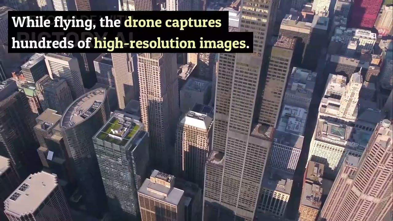
"How Autonomous Drones Map an Entire City in Minutes"
Autonomous drones are changing the way cities are surveyed. This video explains how mission-planning software, LiDAR, sensor fusion and swarm operations allow drones to create high-accuracy 3D maps in minutes. Perfect for engineering teams, planners, emergency services and drone professionals looking to understand the latest mapping technology.
Why Choose Rav Global’s Aerial Intelligence Solutions:
• Nationwide Reach – Operable across regional and remote Australia• Industry Partnerships – Serving agriculture, defence, infrastructure, and more• Smart Data Insights – Real-time geospatial data and AI-powered analytics• Proven Experience – 220+ global projects, tailored now for the Australian market• Certified Platforms – Compliant with CASA and government regulations
Explore the future of aerial intelligence with Rav Global!
